
The Old Great North Road is a UNESCO listed world heritage site and was a perfect choice for the heritage walk in my 12 Hike Challenge. The walk has an associated app that shows videos at various spots showing how the road was built and what it was like to be a convict at the time.
I had a quick breakfast in Wisemans Ferry. The town has an odd feel, like it was full of carnies! Some folks had strolled by wearing period outfits and must have been rehearsing for an upcoming convict history event. This and the large number of motorcycles gave the town an edginess. The car park for the walk was on the town side of the river so I parked up then caught the car ferry to the other side as a pedestrian. I appreciated the well mannered ferry operator and his clear instructions. I then walked 500m up the road until I reached the gates to the Devine’s Hill line, the first portion of the old Great North Road that I would traverse.


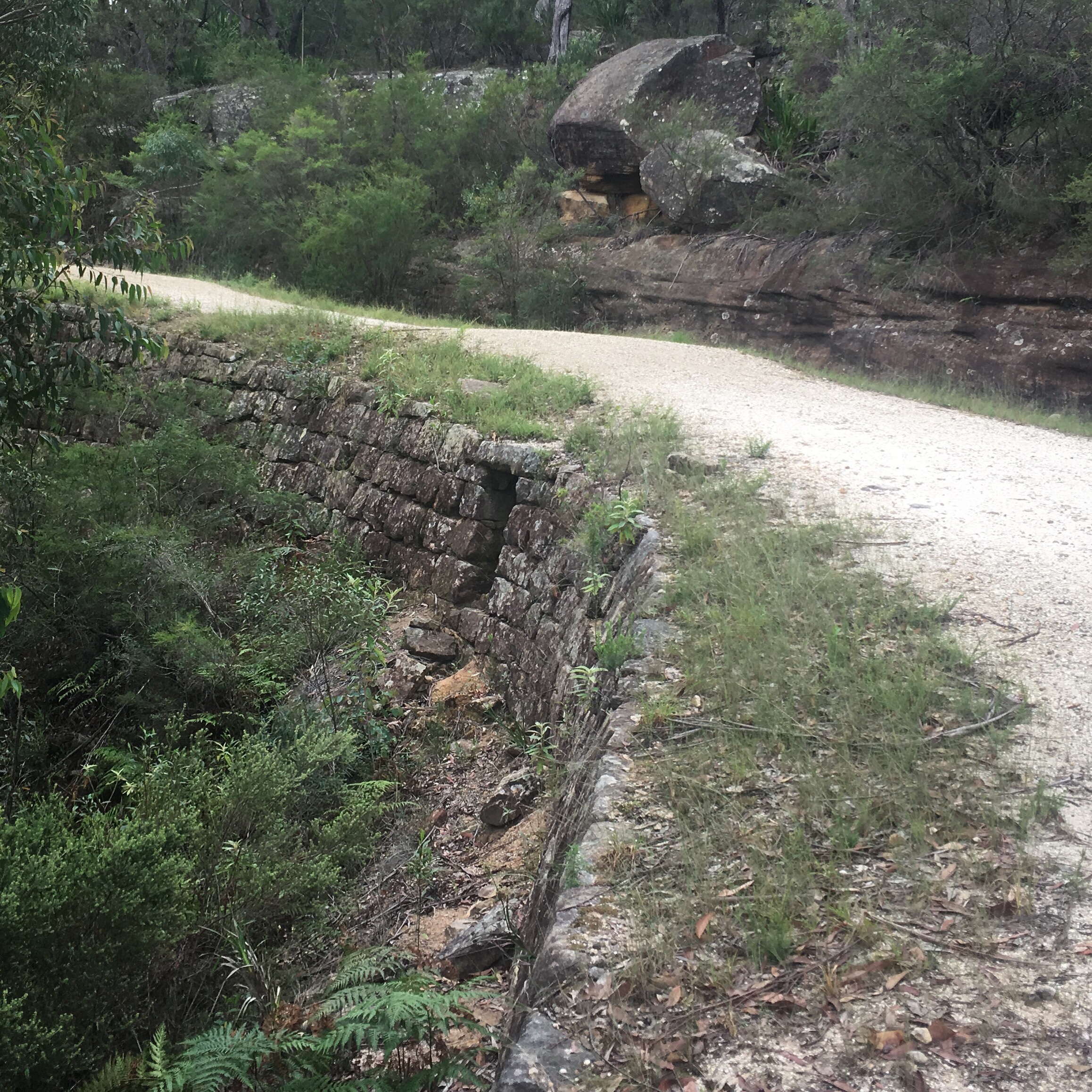
At this point I turned on the app and started listening to the history lesson and I’m glad I did as it brought the whole Walk to life. It pointed out the culverts which were a source of pride for the builder. It showed me the cobblestones which were now hidden under a protective cover of loose stone. There was Convict graffiti which I would never have noticed on my own. I also saw the marks on the rocks from the various construction methods used – one of which involved hammering a metal stake directly into the rock then filling the hole with gunpowder to blast the blocks free. I passed a quarry area that showed all these signs of work.

As the walk progressed the road itself became more impressive. There were huge culverts resembling mini Aztec temples that allowed water from the gullies to flow through. A large curve in the road showed off the wall surface and smaller culverts and it was truly interesting to see the little details in the design, such as a lip on one of the culverts to keep the water away from the base of the road.

One spot was called hangman’s rock though there was some dispute as to whether it was actually used for hangings. Rather there were carved steps and a smooth area perfect for sitting and surveying the work below so it was likely where the officers lorded over their convict crew and their creation. There were some suggestions that gunpowder was stored there but that seemed odd given the vast number of other more complete caves along the route and the fact that it was a perfect lookout.
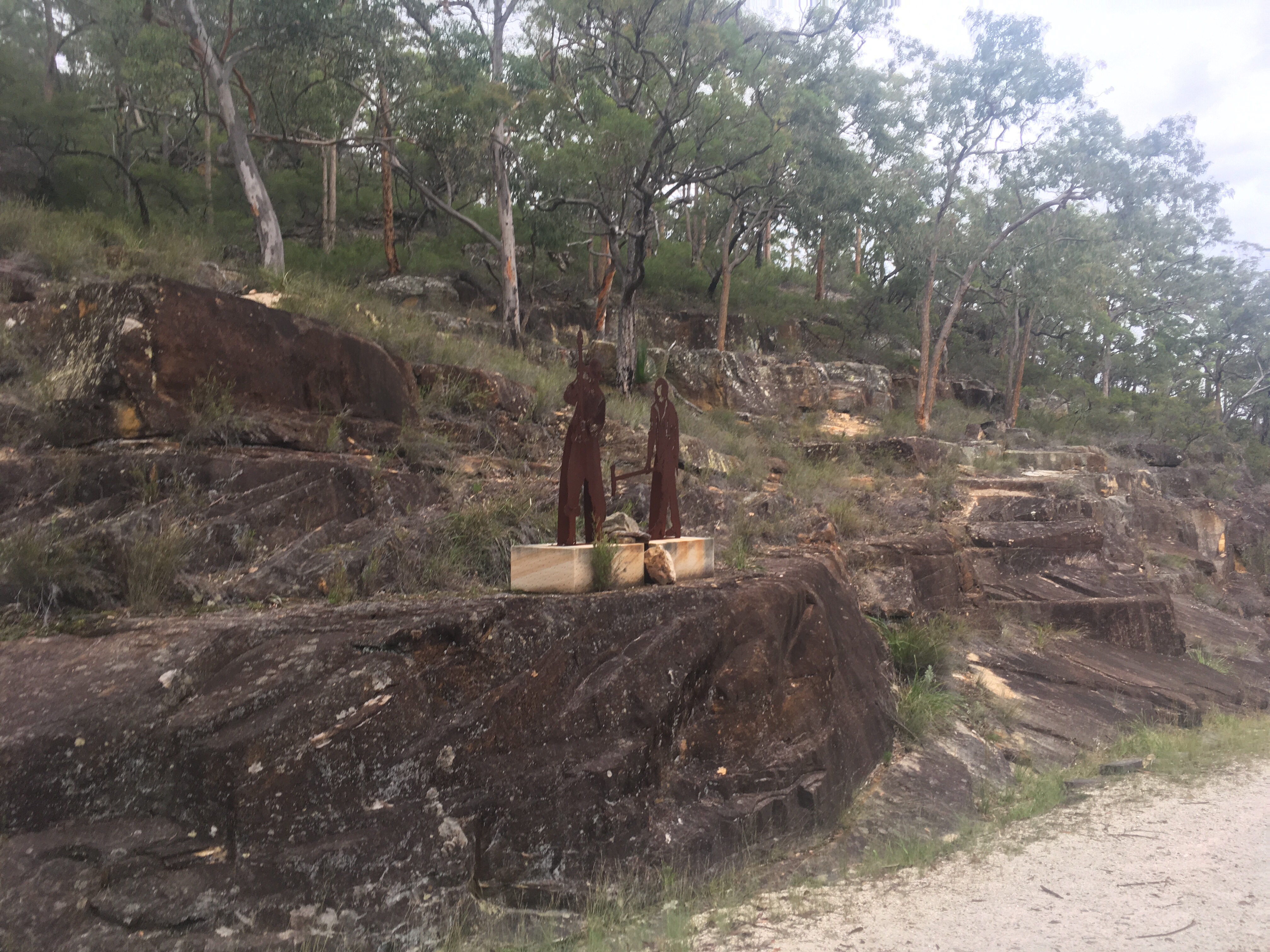
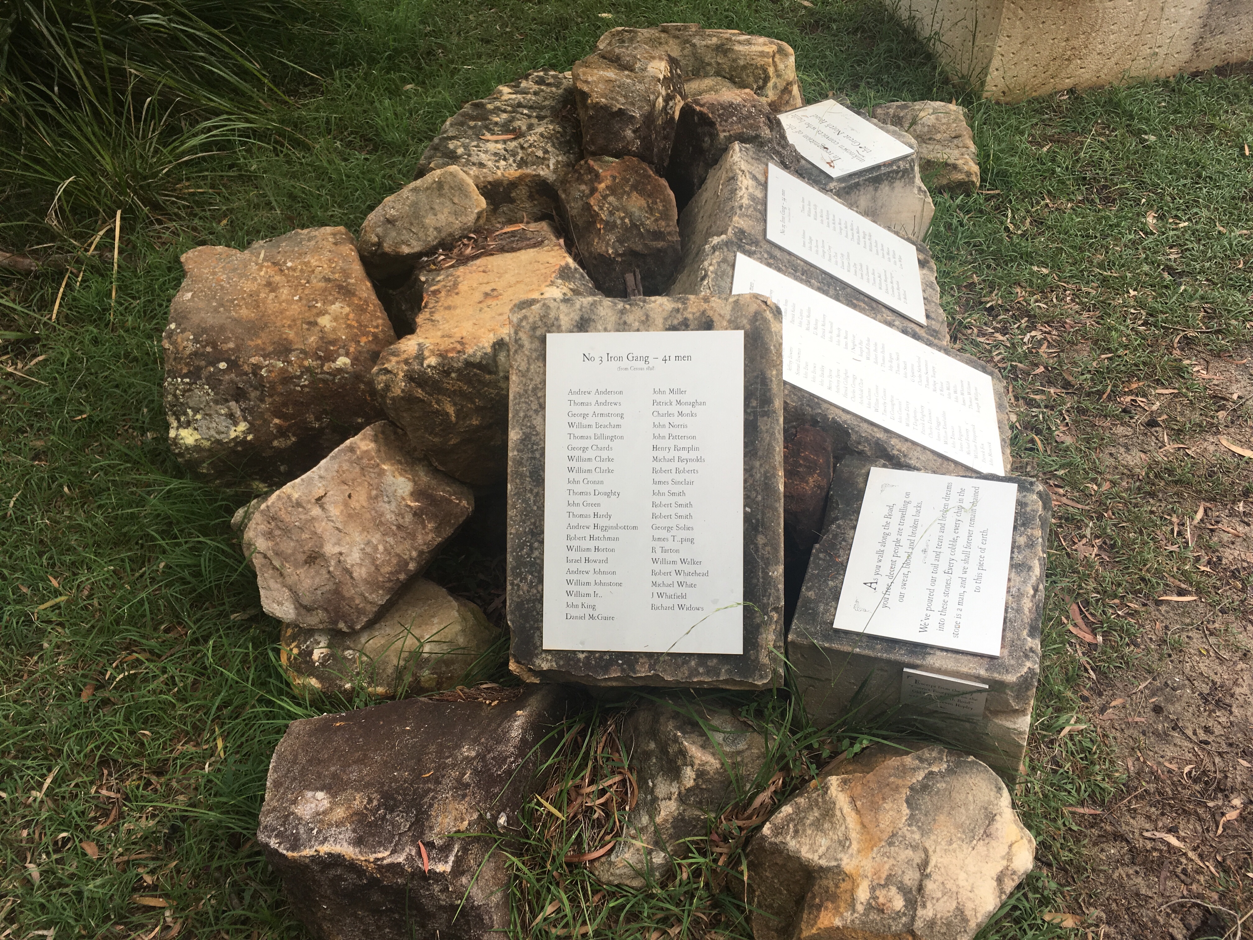
Towards the top of the hill was the remains of an actual stockade. The site was little more than a clearing and a few sandstone blocks but the app filled in the blanks and showed where a boundary fence was, where the animals were kept, and where the building itself lay. The area would have stunk as the convicts were only allowed to bathe on a Saturday. Whippings were also done on a Saturday to ensure the convicts had recovered in time for the work week. The lashes themselves were given in the most painful manner. Enough time between lashes was given to allow welts to form so that hitting them again was extremely painful. Lashes were given for all manner of things including losing a blanket! Fresh clothes were given only a couple of times a year as convicts tended to escape in their fresh garb and try to seek work! There was a sandstone memorial listing all of the work gangs that built the road.
It was very interesting but the work was all for nothing as the road became obsolete before it was complete. Folks decided to take coastal routes and steamboats from Sydney to the Hunter Valley instead.
At this point I joined up to the Finches line of road and noted that it looked like a regular bushwalking track rather than a road. This road had been built first but was deemed such bad quality that it was abandoned and the Devine’s Hill line was built instead.

While mucking around with my phone I inadvertently hit play on my music. I don’t normally carry headphones so don’t normally listen to music so the hike suddenly changed character. I had some magical moments listening to mike oldfields Return to Ommadawn as butterflies dance to the music along the trail in front of me. The tune seemed well suited to a long walk. The screech of some large black cockatoos interrupted me and I popped out the earphones to find out what I was missing. I was enjoying myself too much though and popped them back in and carried on.
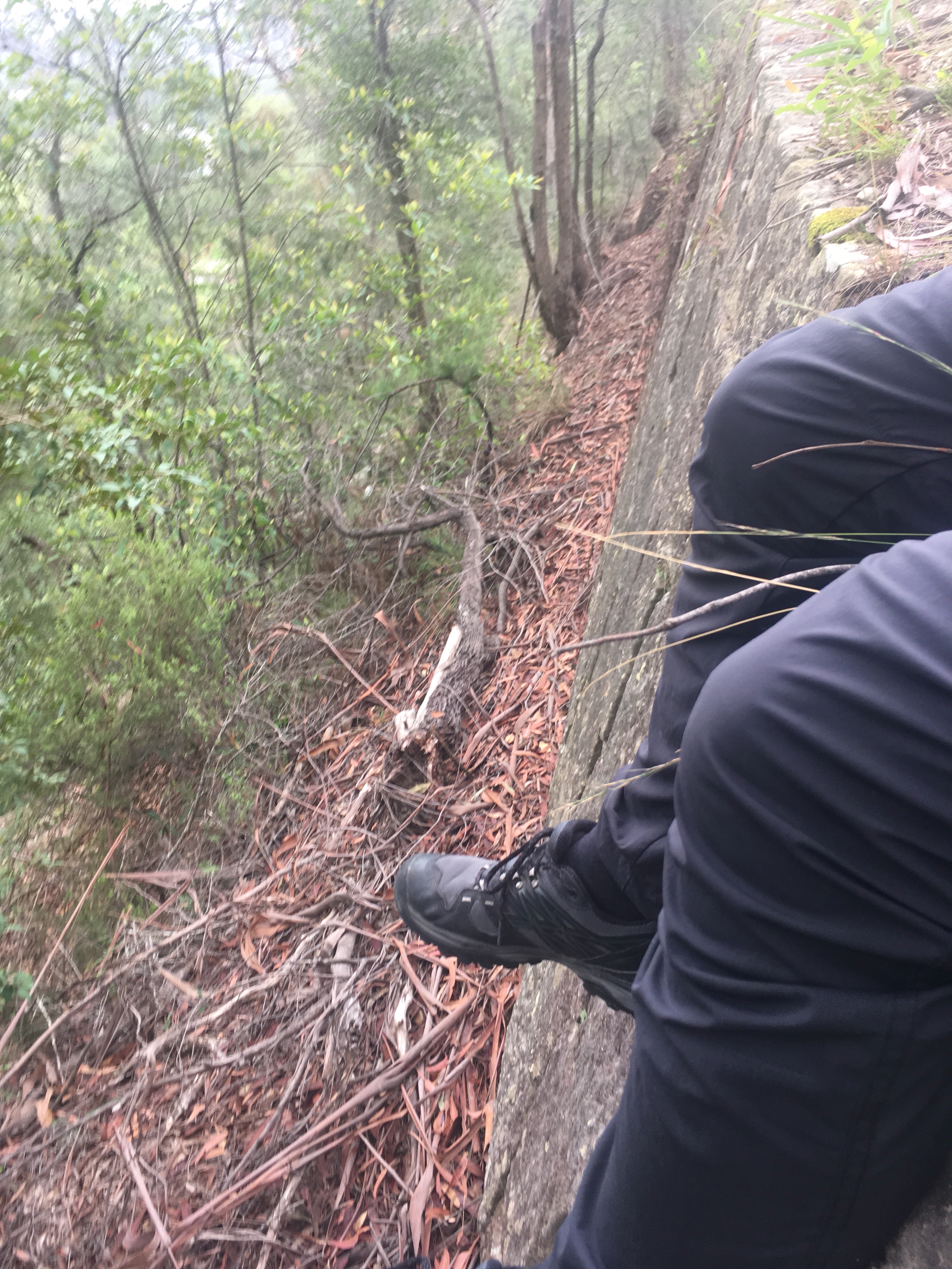
The convict road was not of the same quality as on the previous one and at times I wondered whether anything was actually done! There were some low stones to the side of the trail that indicated some construction but the road seemed more suited to pack animals than carriages.
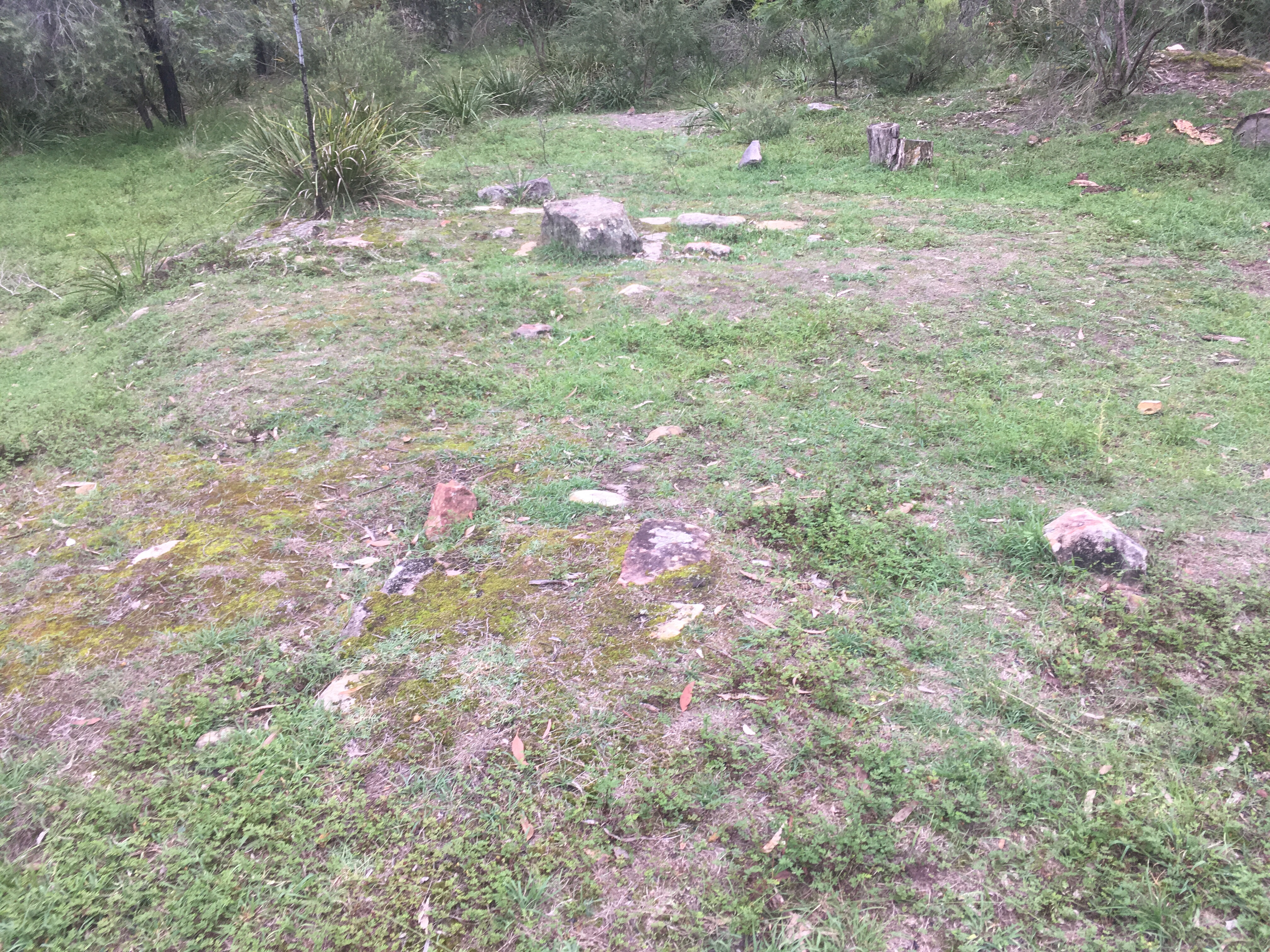
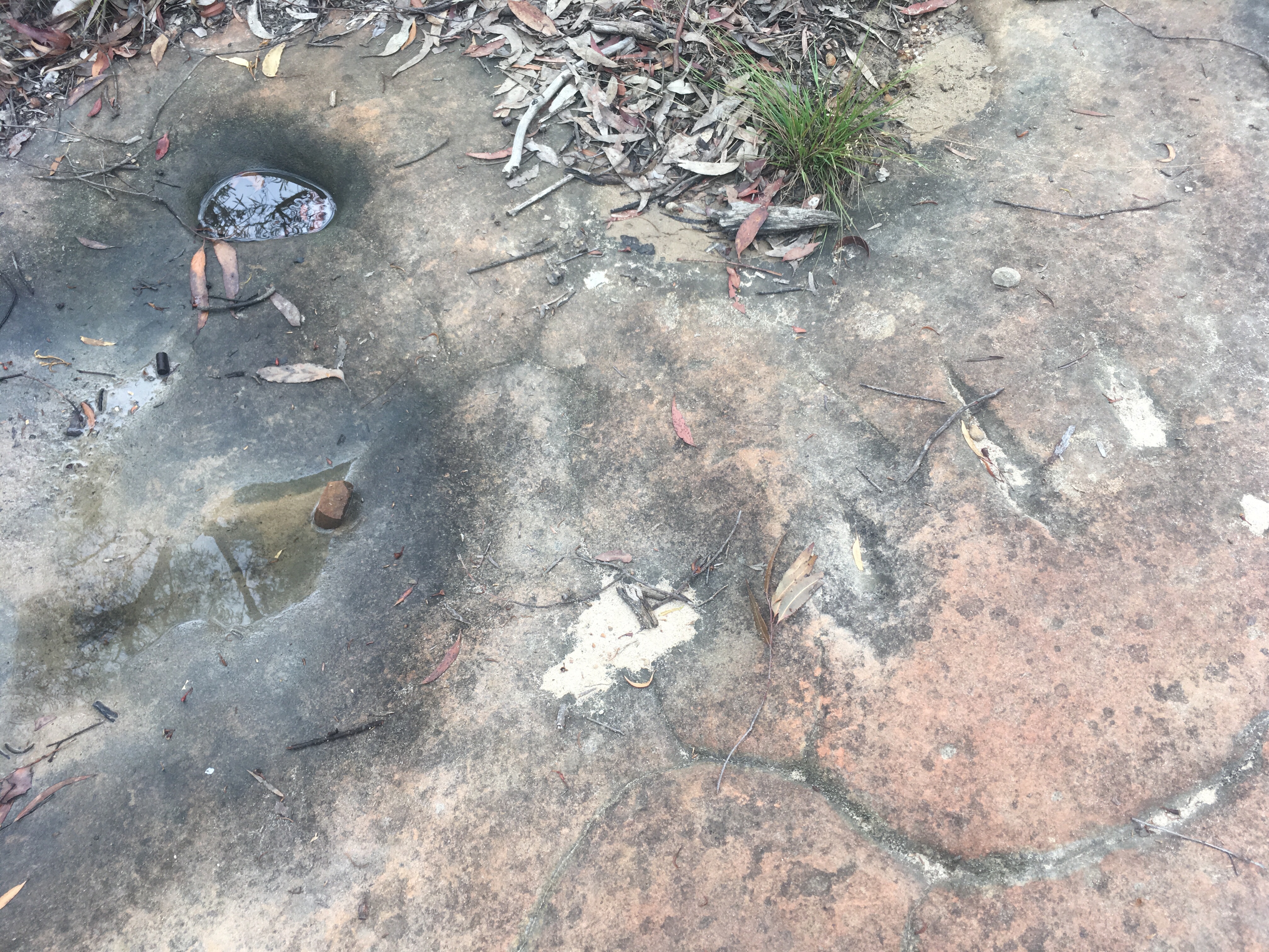
I passed over a groove in one flat rocky area that looked for all the world to me like an aboriginal axe grind. Hard to say but if it this wasn’t a convict road I would have concluded aboriginal activity. The groove is to the right of the picture below.
The marker for the app appeared again and the story told of some rather well trusted convicts with no shackles. The surveyor and engineer took no responsibility for the state of the road instead implying that the governor who tried to use his carriage to move up the road was simply using the wrong vehicle and that the type of people that would use the road would not travel in such a manner. The governor said the road was too steep and too narrow and in my opinion he was absolutely right.
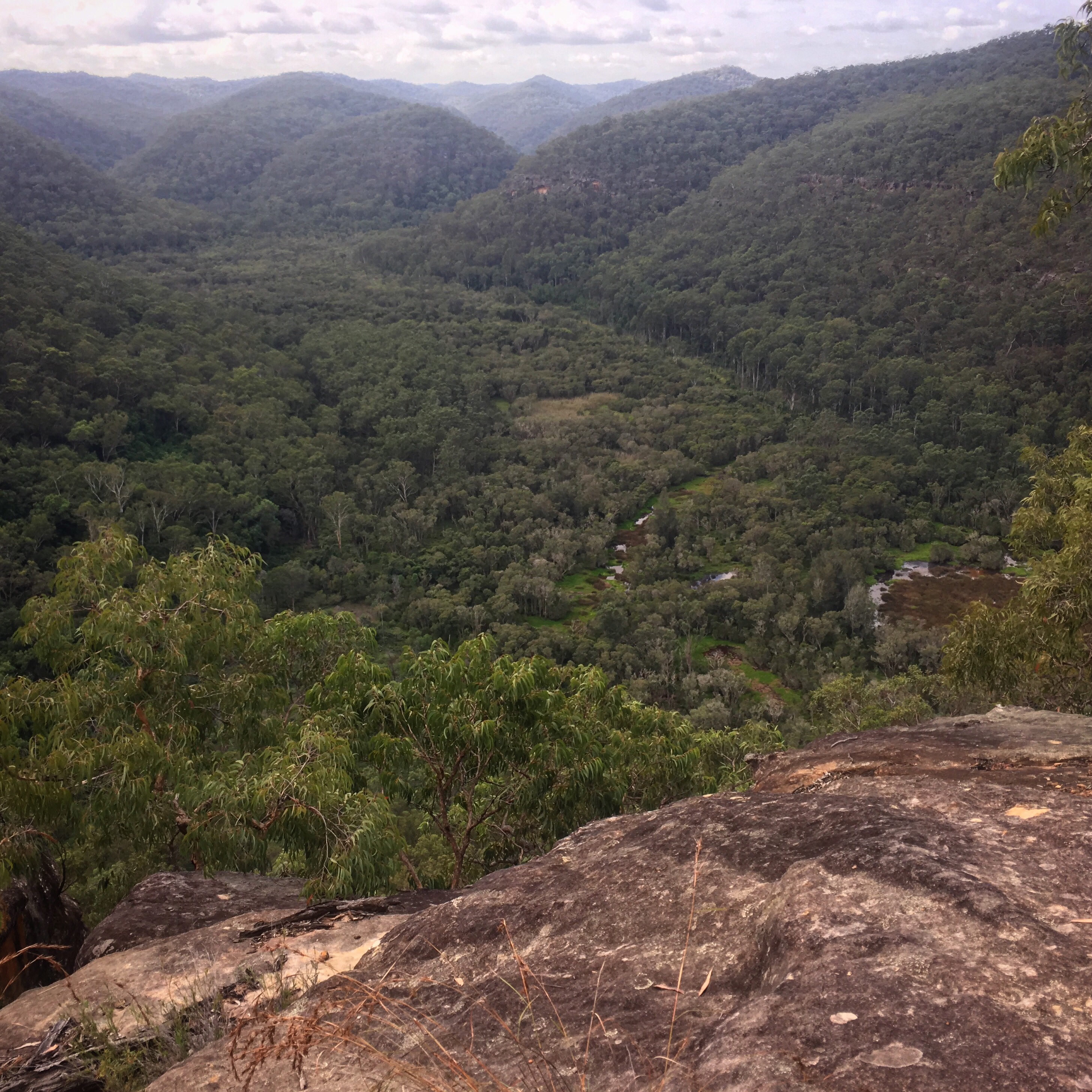
There were a couple of views to be had of the Hawksberry River below.


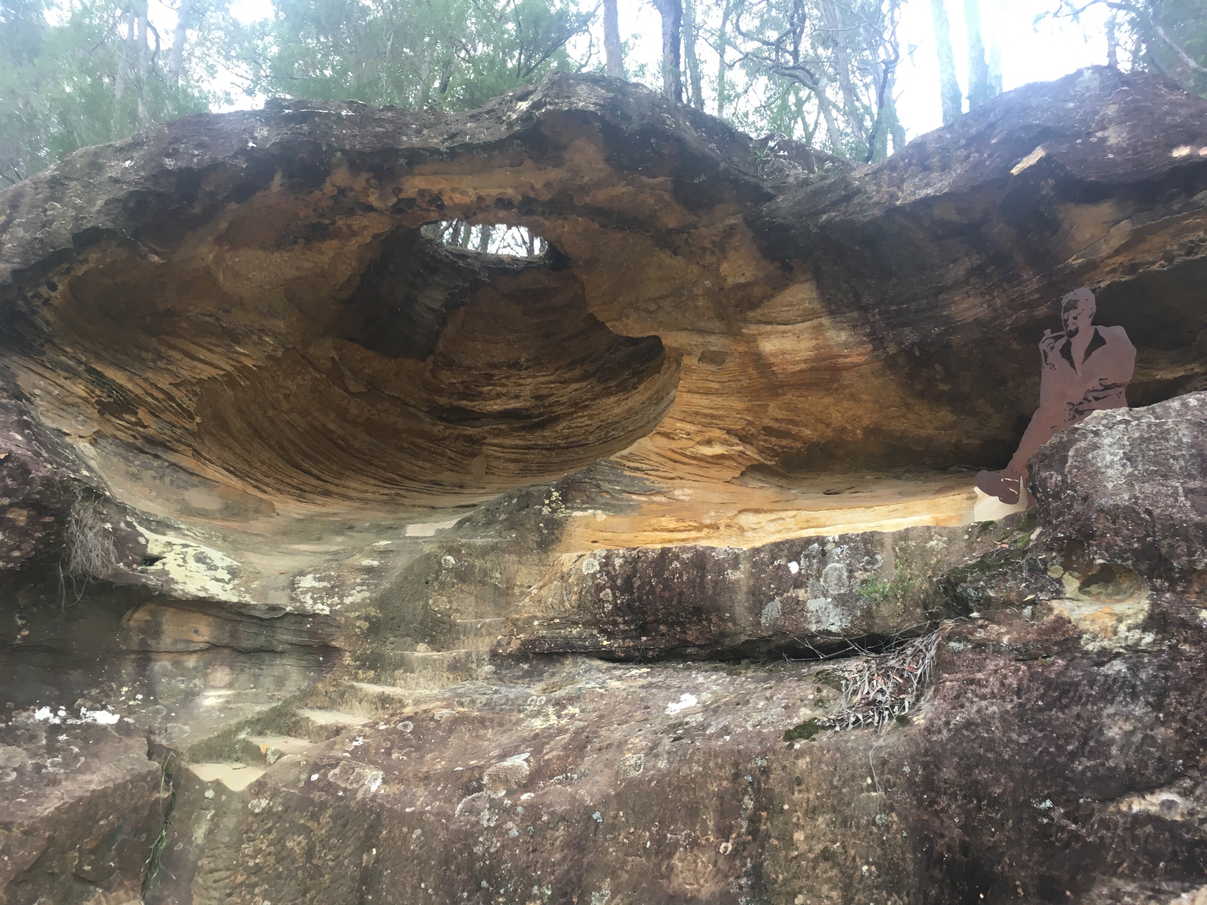
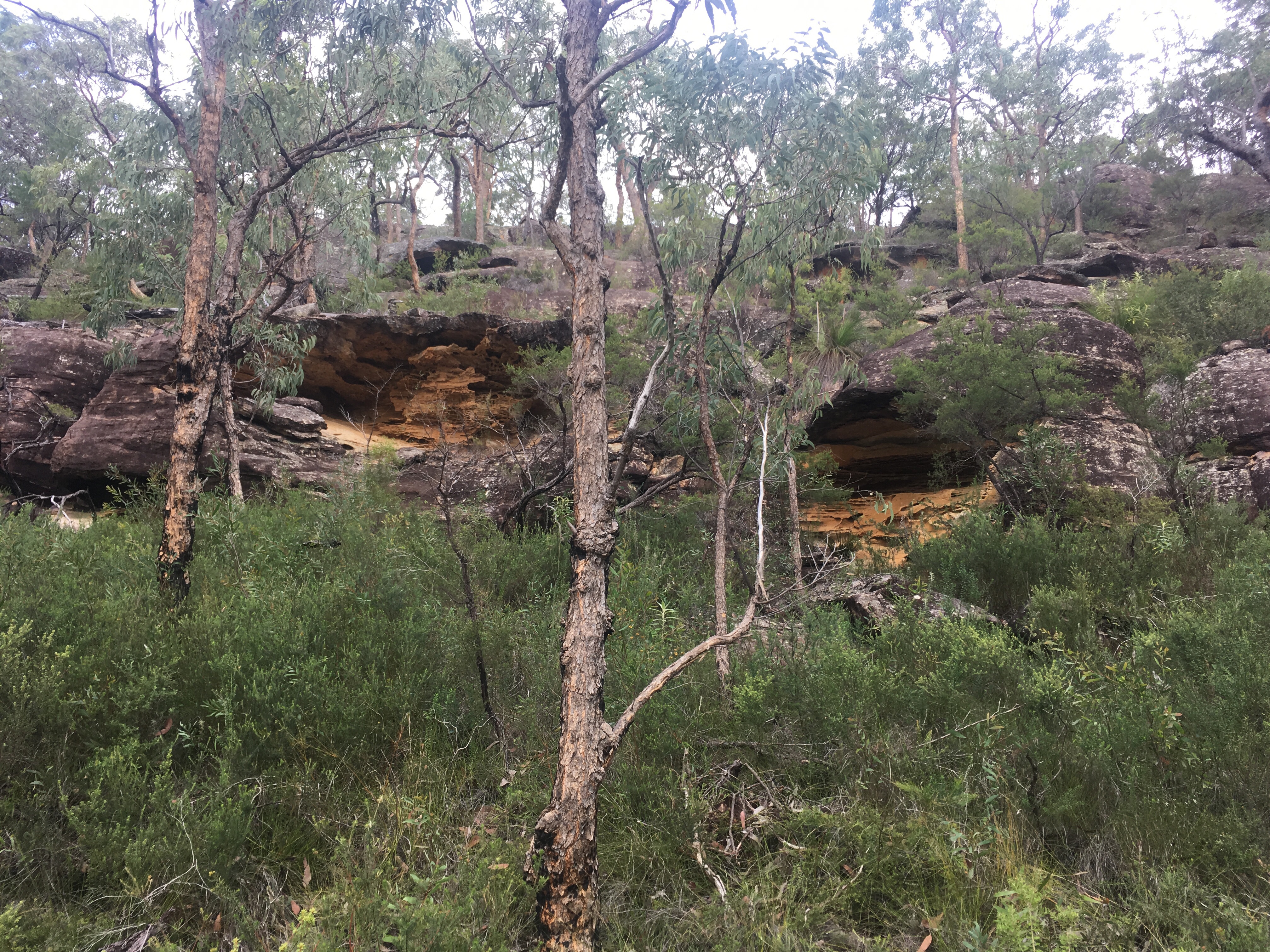
Cliffs soon after rose up beside me on the right revealing many small caves. To the left, the view opened up and I could see marshlands down in the valley below. I sat out on a rocky ledge and had a snack while I took it all in. Always linger for the views, I say.
I then began to descend the steep path and I passed through a patch of tall Gymea Lilies that were quite otherworldly. There was also a lush moss covered tree filled grotto that I took a moment to enjoy.


The final section of this walk was along the modern road back to the ferry. I had thoroughly enjoyed this heritage hike and was pleased that I used the narrative app as it really brought the whole area to life. I’m not sure I would have appreciated the walk without this context. There was lots of interpretive signage but hearing the stories added so much more. I was finished in a leisurely four and a half hours and had walked around 11km. I took my time and wasn’t even puffed at the end of it!
———

I love your posts. Keep on solo hiking for me – I am immersed in a sitting at the computer based project at the moment and miss the great treks I have done in recent years. So I have a virtual walk everytime you post. Thanks.
LikeLiked by 1 person
Yes that would be quite a change for you! I’m thrilled that I’m able to get out and about. My little challenge certainly pushes me out there.
LikeLike
Another beautifully crafted essay. You are so polished. Great photos! Really enjoyed.
LikeLiked by 1 person
Thank you!
LikeLike
I loved this post! What a terrible life those convicts had!
LikeLiked by 1 person
Thanks Clare!
LikeLiked by 1 person