
I’ve been staring out from my deck at the same valley for three years now. I’ve wanted to cross it ever since I moved in to my new house in Berowra NSW, starting from Cliffview Dr then making my way down and up to Alan Rd. I had discovered a trail with my children one day on the Cliffview side but only got so far with them as it was very steep. The trip up the other side would have to be a bush bash. Well, today I had the day to myself and decided to tackle it.
The trail was an old fire control line and was used last year to conduct backburning operations. There were still a few ribbons in place that marked the route so I headed down. I took the opportunity to look for some little caves that a family friend had told us about but I couldn’t see them so I returned to the trail. It was incredibly steep and easy to slip. I didn’t bring my poles as I thought I’d need my hands free to grab on to rocks. That was true but I picked up a stick anyway to help keep me upright. A wasp buzzed me when I was in a rather precarious position but I managed not to freak out and fall.


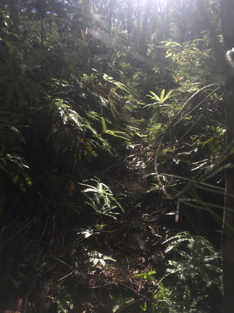
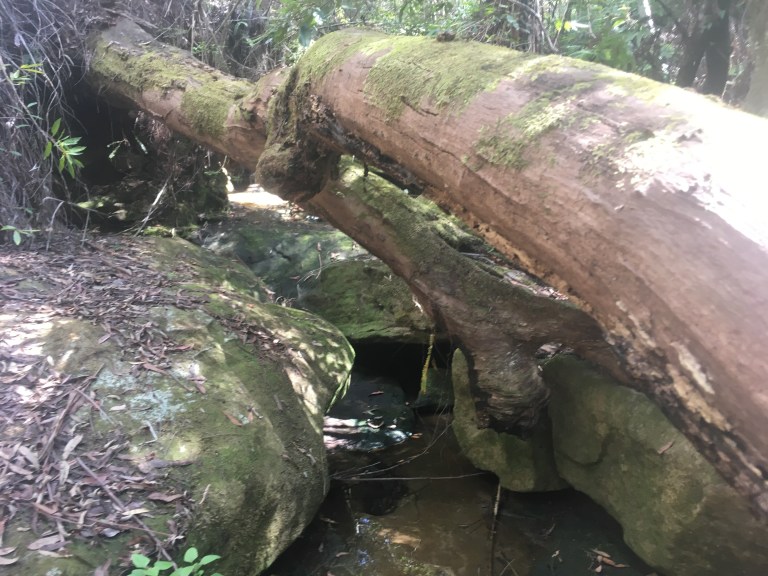
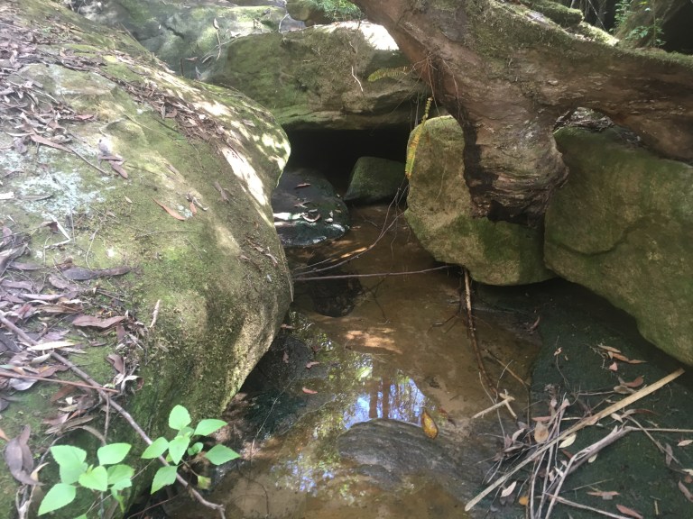
I soon reached the fern filled bottom of the valley and found a little creek that was mostly dry. I explored the creek a little and found a lovely moss lined grotto with a bit of water flowing. The area would be transformed into a cascade when it rains and I’d like to see that one day.

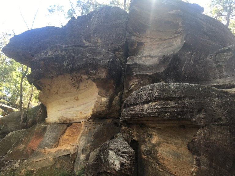
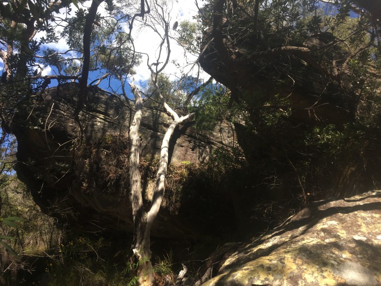
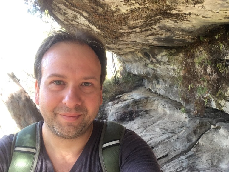
There was a coloured rock wall nearby so I headed to it, following a kind of roo trail through the bush to reach it. I then spied the roo trail leading away and, after checking my orientation to my destination, I decided to follow it. I’m glad I did. I found a quite spectacular cave. I spent a bit of time there looking at the view from where I sat inside the cave. One of the locals had told me there was a cave down here. I’m not sure it is the same one but it sure was a fantastic find!


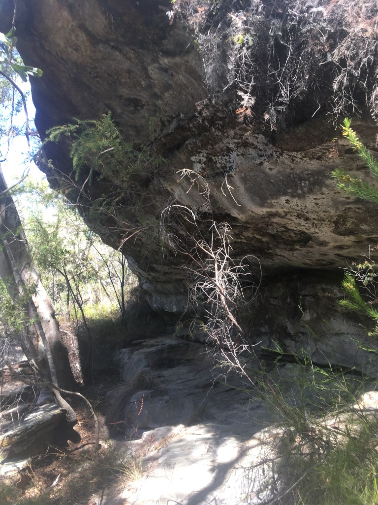

There was some wallaby droppings in the cave and I swear I heard them bounding in the bush nearby. A bee started buzzing me so I decided to move on. I checked my orientation again – I was using a phone app not a map and compass. I had to somehow get behind the cave. I tried one direction following a roo trail but that soon became difficult so I back tracked and went the other way. I started climbing. I was pushing my way through the bush and clambering over the rocks. I then found what looked like a trail but I realised it was just a water runoff course. I reasoned that what goes down must go up so I followed it and made quite a bit of progress.

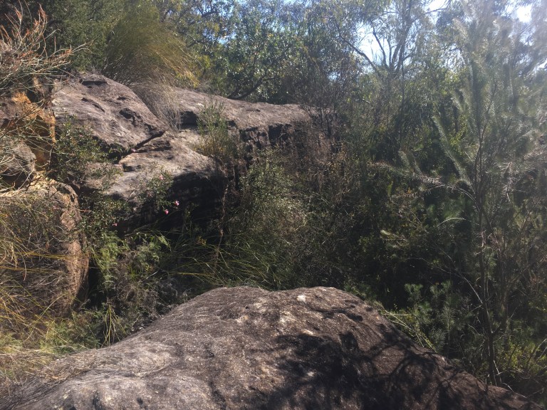
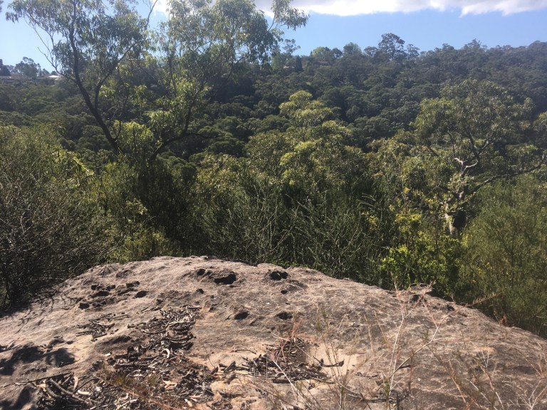
The going got very tough and I had to rock climb about my height to move forward. I then reached a point where a gully between the rocks blocked my progress. I scoured around a little then chose a spot that had a stepping stone and only a short climb up. I was over and up in no time and paused to take some video and pictures.

I checked my orientation and position and I wasn’t too far from my planned exit point so I just plowed through the bush. I spotted a bottle on a rocky surface and knew I was almost there. A little more bushbashing and I was out!
That was a fantastic little adventure! I got a real sense of achievement from not only doing the walk but also from planning it out and navigating my way through. It was great to see the little creek and to discover the cave. It felt like real exploration!
Thanks for reading. Here’s a little YouTube clip I put together: A Berowra Bushbash
