
Well this walk was rubbish! I don’t normally say that but the official route for this one was poorly thought out. The route spent too much time on the road. Thankfully I salvaged the day and found a better way to do it (that two seconds of research would have uncovered).
I used the usually reliable WildWalks track notes, which exactly matches the council signage for this one, and didn’t even glance at OSM or any other map to question the route. That’s odd for me as I usually have multiple map apps open to study. I guess I thought that since this was meant to be a well signposted walk from Chatswood station that it would be straightforward and interesting.


After a short walk from the station I passed through a small reserve that had the official route map. It too had the section that used roads. I assumed there was good reason. Soon enough the walk passed alongside a creek that is used as a stormwater drain and it started to look interesting. But just as I was starting to enjoy the walk I came to an intersection that either went straight ahead along the creek or up out of the gully. Checking the map I was to take the high road and being a trip note purist I followed.
Why is it that when you hit a main road the clouds part and the sun starts belting down?
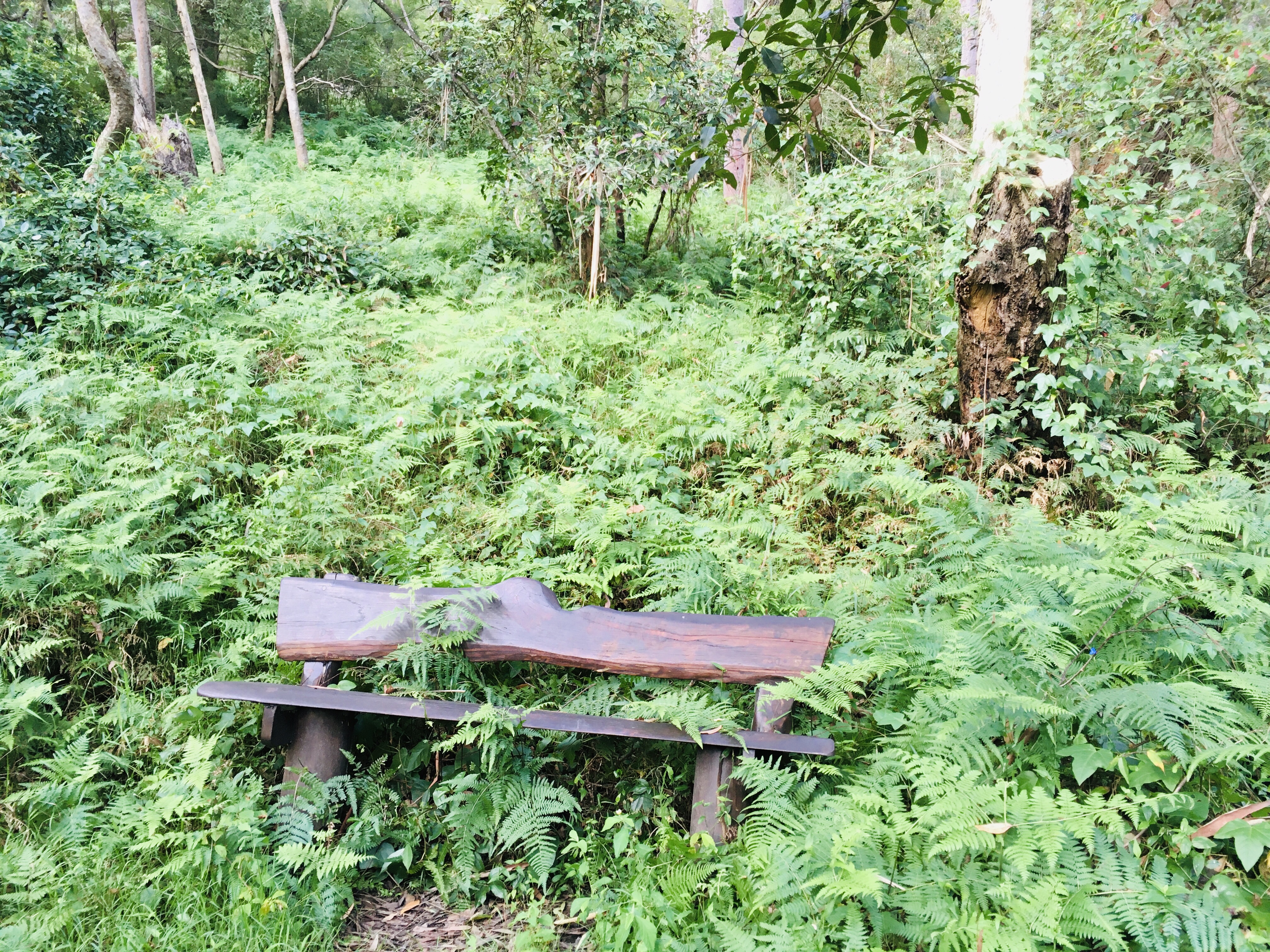
I passed through a little playground and then another and I found myself wondering what the designers of the walk had in mind? It dawned on me that someone had simply looked at a map of the area and all its parks and reserves and tried to link them up without ever actually considering whether that was actually interesting. I crossed a cricket pitch to arrive at yet another playground at O’ Ried reserve (this looked really good though so if I’m in the area with the kids I’d take them). Eventually I returned to the bush and followed a track alongside a golf course that eventually reached the Lane Cover River. I passed a bench that was being consumed by ferns – the highlight of the walk so far! There were only filtered views of the river alongside a busy bridge. There were workers loading a boat next to the bridge so I didn’t go any further but the map showed this was the turn around point anyway. That wasn’t much of a reward.


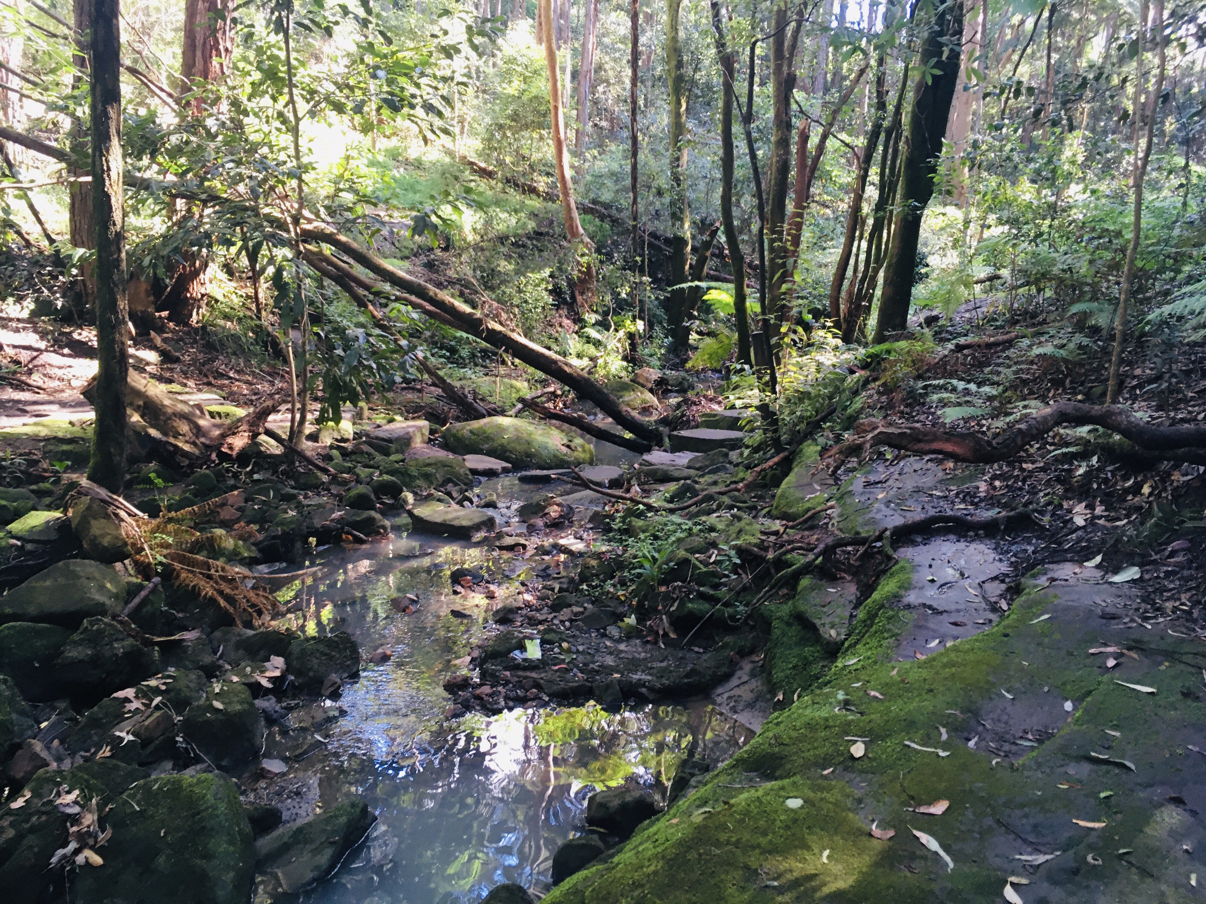
I was meant to walk back the way I came according to the official route but I opened my Maps3D app and noticed a “rail to river” track that avoided the road. So I took that back and in doing so had a much better experience.

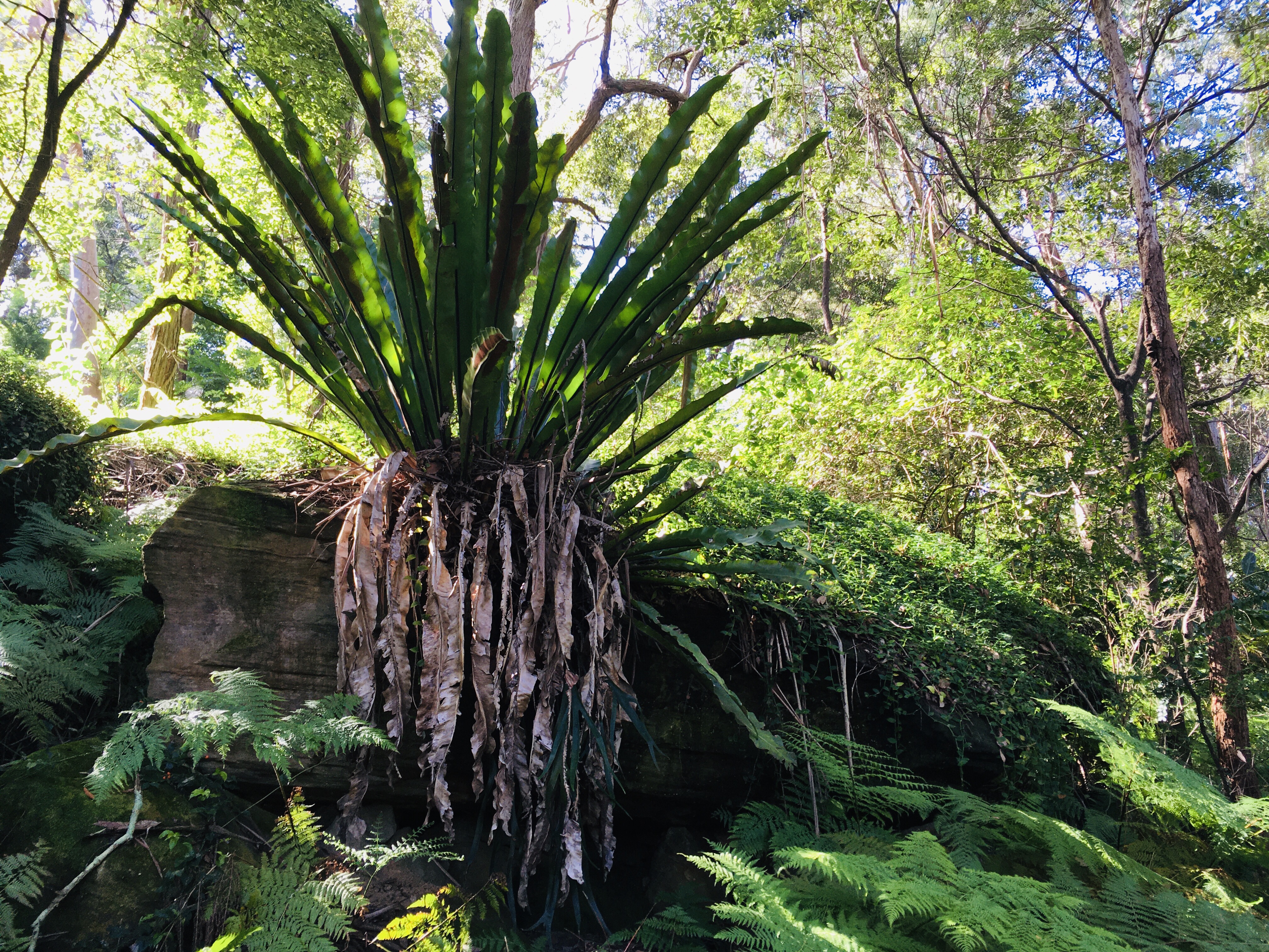

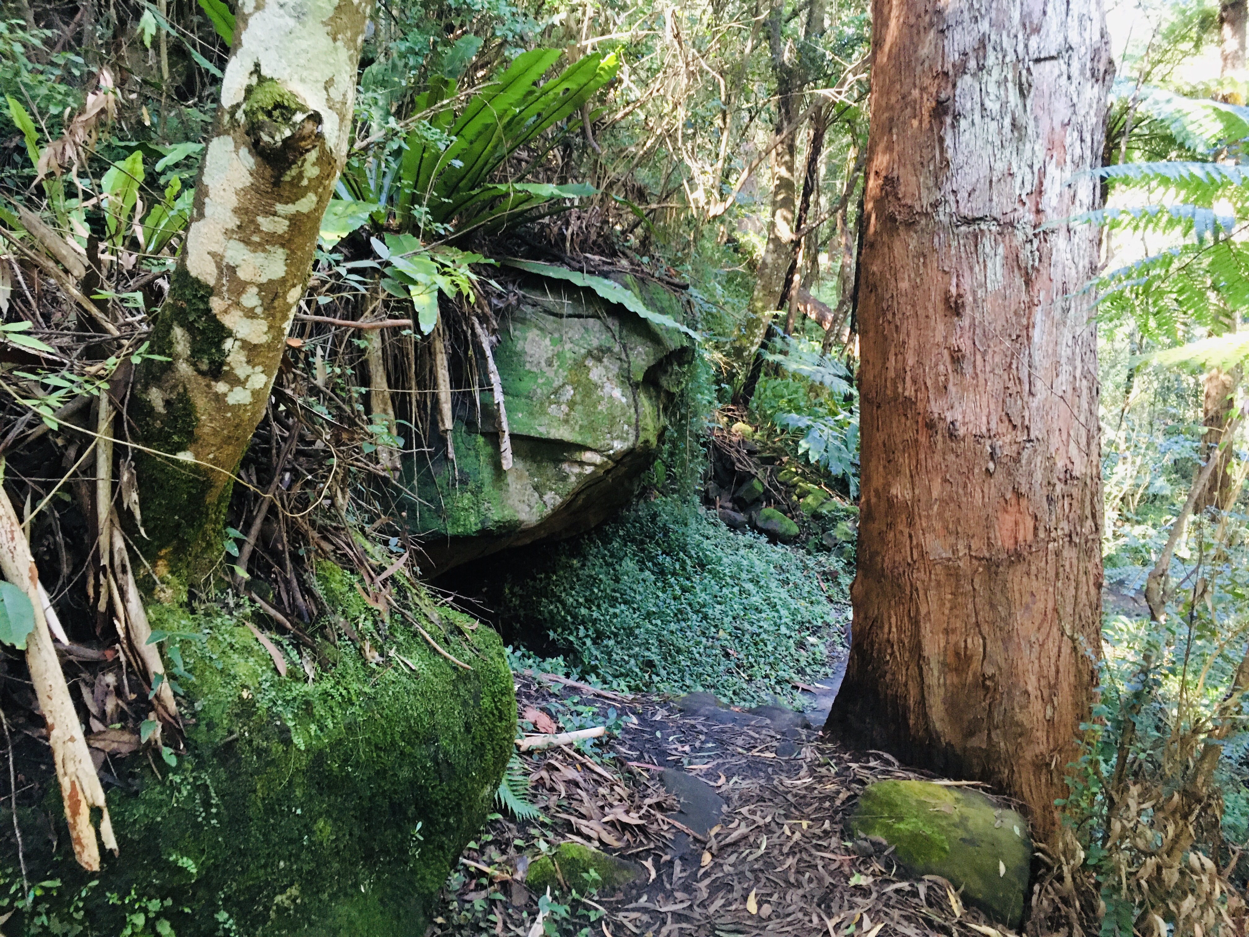


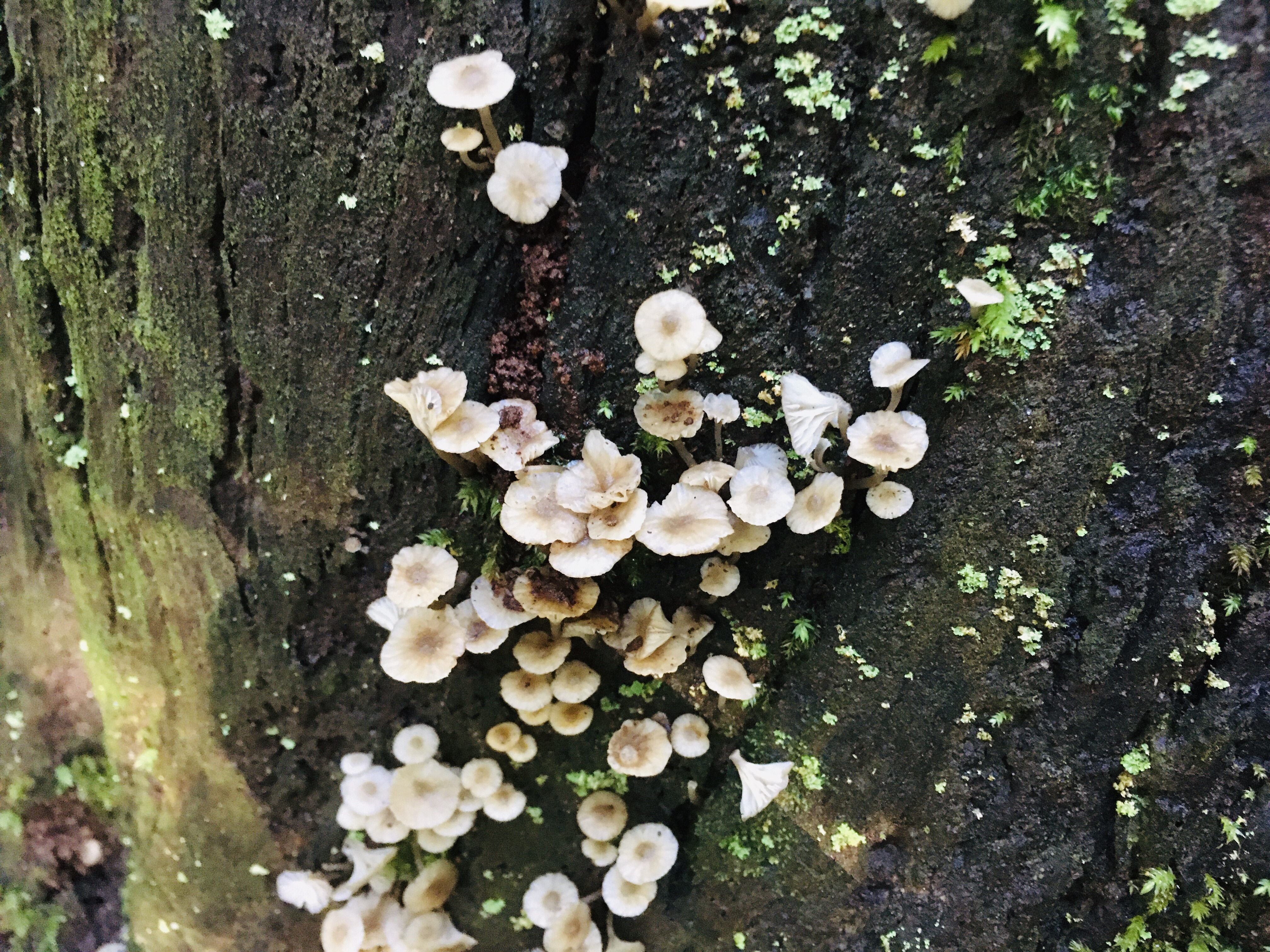
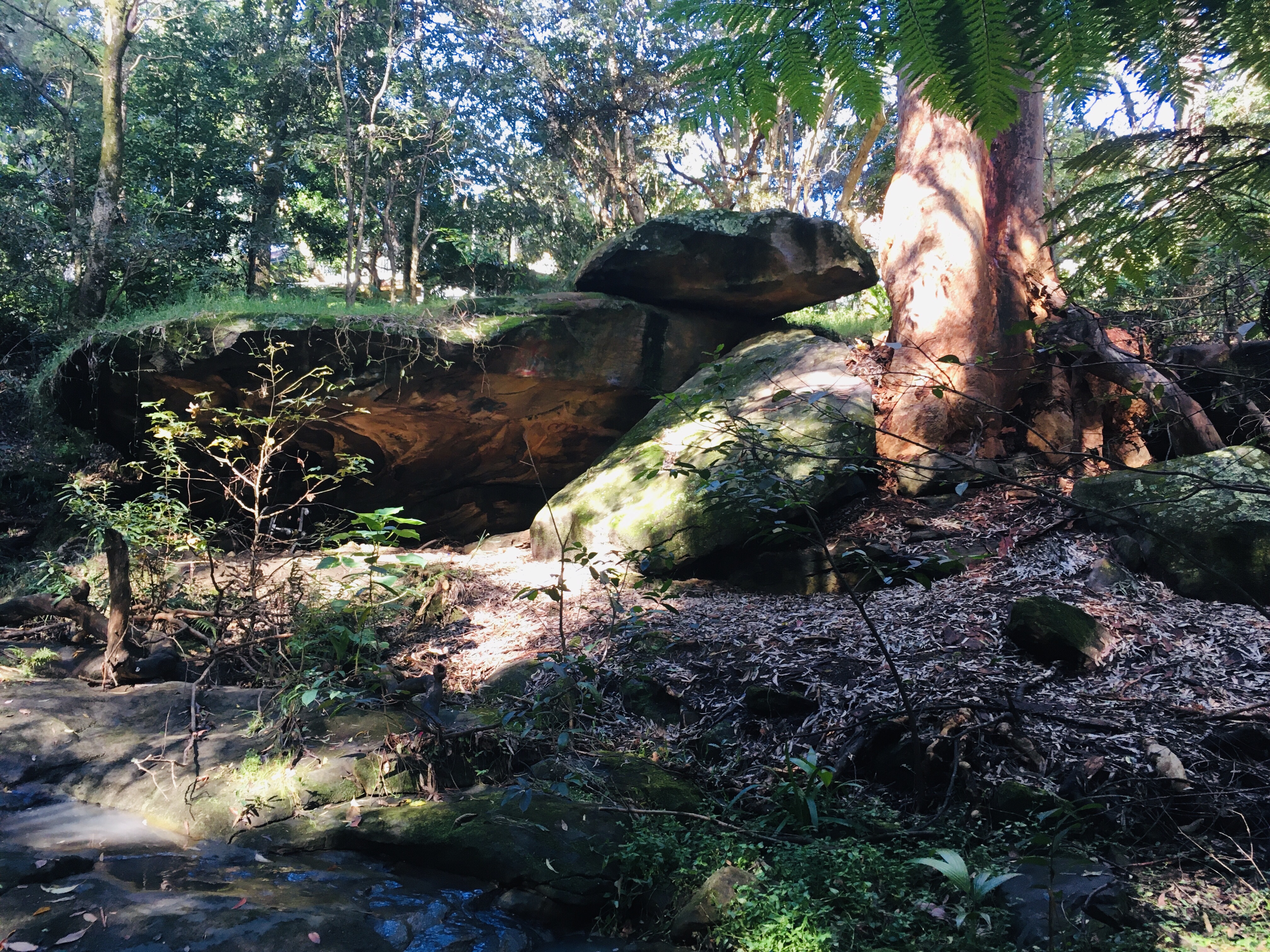
Everything was lush and green. Ferns and mosses and fungi everywhere. This was more like it. There were tall rock walls, a cave and a natural tunnel big enough to walk through. Much better. I lost the track briefly and just walked along the sandstone creek bed until I reconnected to it. Towards the end there was a little waterfall and some rock overhangs that was a really pleasant spot.


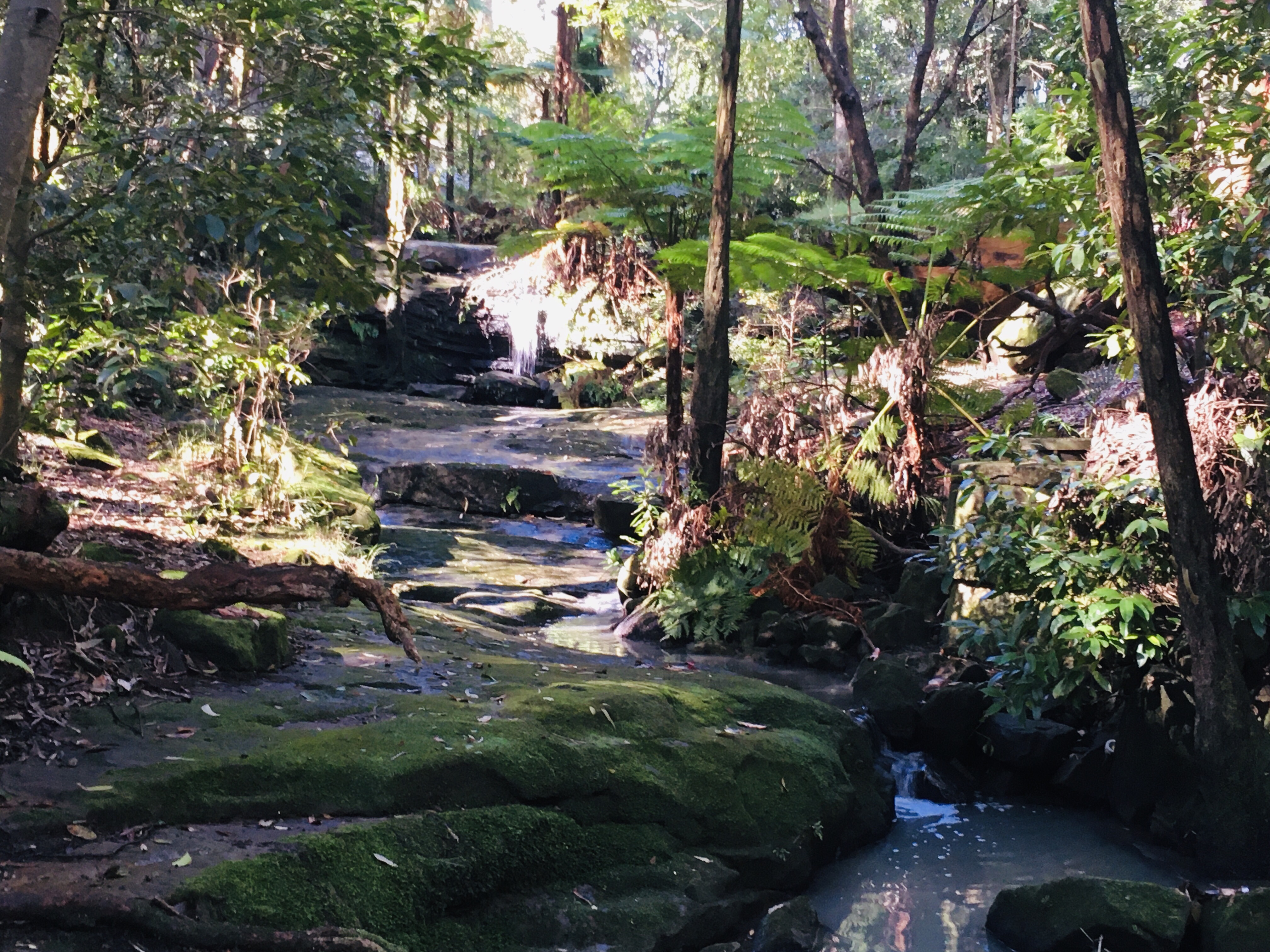

The walk was soon over. I was pleased that I managed to salvage the day. This walk, as signposted clearly was made by someone in the council that was just playing connect the dots between parks rather than seriously trying to design a walk to attract people to the area. If you do this walk, ignore the signage that directs you up to the road and stay down on the creek for a much better experience.

One thought on “Rail to River Walk Chatswood”